
day 1
June 26, 2016
As tired as I was, I had a pretty restless night, tossing and turning and not getting any good sleep. As the eastern horizon lit up, I reluctantly dragged myself out of bed and climbed the remaining 90 ft to the summit, waiting for the sun to rise. They sky was unusually hazy due to a fire near Lee Vining about 60 miles northwest. I spent about 20 minutes up there taking it all in, then descended back to camp, hoping to catch up on some more sleep.


By 9:30am, both of us were up and eating breakfast, feeling unusually physically miserable. Both of us had not been above 13,000 ft for almost a year and were having similar symptoms of misery, so we guessed that it was mild altitude sickness. We decided to pack up and press on with the traverse, realizing that the most prominent symptom was simply fatigue and that we simply needed to adjust to altitude anyway with a whole season ahead of us, so off we went by 10am.
camp

Slowly and steadily, we descended Basin Mountain's class 2 southwest ridge, tediously rock hopping and postholing now and then, admiring views of Mt. Humphreys to the south. Up ahead was South Basin (which was really more like "Southwest Basin"), an unofficially named peak which looked menacingly rugged. I had initially guessed that its northeast ridge would be the crux of the traverse, and this turned out to be true.


The first half of South Basin's northeast ridge was utter tediousness, with much crawling back and forth on the north side of the ridge, often gaining and loosing several spurts of 100 ft elevation on loose rock and snow just to bypass some 10 ft obstacle on the ridge. Upon reaching a prominent false summit (roughly a linear 0.15 mi NE of South Basin's summit), the climbing became much more enjoyable as we were now able to remain directly on the ridge.
(false summit = next highpoint right of South Basin's summit)


Between the false and actual summits were three highly amazing large cracked slabs. The first (class 4) and second (class 4+) of these went without a hitch. The second slab ended on a giant ledge, where further progress on the ridge itself was blocked by an extremely exposed upper 5th class arete. From here, we cautiously lowered ourselves 15 ft off the south side of the ridge, utilizing a horn, a large flake, and several cracks which felt to be low 5th. We bypassed the arete and quickly regained the ridge, with Mason climbing up two awkwardly parallel (class 5.4) flakes and me shimmying down a 5.4 chimney and ascending class 4 cracks back onto the ridge where we climbed the third cracked slab, which felt like low 4th. After that slab, the remaining distance to the summit was class 3+, utilizing a series of cracks which wrapped around its north side. By 3pm, we finally topped out and breathed a sigh of relief as the terrain ahead looked easy. The last few hours had definitely been incredibly tiring, scary, and exhilarating at the same time.
looking southwest from the false summit

first slab

second slab

Mason on the third slab (crux is out of view to the left)

view northwest from summit

We didn't really linger at the summit, but continued roughly 0.6 miles southwest onto a large plateau where a high altitude creek was flowing nicely. Our altitude sickness seemed to be getting slightly worse, but it was still mostly fatigue and far from any alarming stages. We rested at the creek for an hour, filling up on water and forcing down food since none of us had any appetite but knew we had to eat.

Feeling slightly better, we picked up our bags and continued north along the main ridge, which now intersected the Sierra Crest. Up ahead were Horton Peak and Four Gables. We had decided that we were only going to reach Four Gables today, which afforded what looked like very nice camping on its vast summit plateau. Thankfully most of the distance to the next two peaks consisted of easy walking and occasional rock hopping on mostly sandy plateau. Horton Peak involved pretty standard class 2 rock scrambling, and the ridge between Horton and Four Gables was mostly class 2 with some very light class 3 scrambling. Horton Peak contained a misplaced register for Four Gables, while Four Gables contained no register. All throughout this part of the traverse, there were great views to be had towards Humphreys Basin and the Glacier Divide to the southwest.

Humphreys Basin and Glacier Divide

Mason on Horton Peak

view towards Pilot Knob

traversing to Four Gables


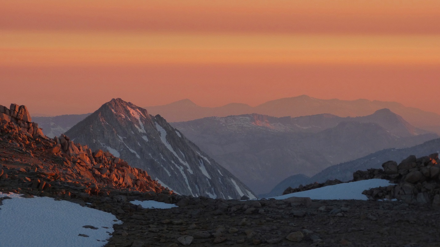
As expected, the summit plateau of Four Gables was flat, sandy, and perfect for camping. We pitched our tents in no time and were eating dinner by sunset. For the second day in a row, the altitude was tricking our brains to think that we had no appetite, so we spent a while forcing down dinner and enjoying a spectacular sunset. 20 minutes after sunset, I crawled into my tent and tried to sleep, but would find myself just as restless as the previous night. Gotta enjoy the acclimation process!


go to Day 3
No comments:
Post a Comment