
Note: For specific route information on the Cactus to Clouds (C2C) route, see this route description.
November 23, 2013
The first snowstorm of the 2013/2014 winter season had just arrived to the San Jacinto Mountains, and it was time to head out to C2C again. This time I planned to also tag the summit of Mt. St. Ellen's: a small rockpile located 0.2 miles WNW of Marion Mountain. This unofficial name was given to this peak only a few months prior by a hiking club in honor of a local hiker.
| Peak | Elevation | Topographic Prominence | Summit Coordinates (lat/lon) |
|---|---|---|---|
| Mt. St. Ellen's | 10,160 ft | 35 ft | 33.797408, -116.690812 |
| Jean Peak | 10,670 ft | 230 ft | 33.80615, -116.679197 |
| San Jacinto Peak | 10,034 ft | 8,319 ft | 33.814785, -116.679477 |
It was around 4:30am as eighteen of us began hiking up the North Lykken Trail. It was a pretty typical morning Skyline scene, with most of the group sleepy and silent and looking at their feet while a few people talked animatedly. After a large group break at the picnic tables, people began moving at their own paces and forming smaller groups. I headed up with the first group with four others.
The sun rose just before 7:30, illuminating the San Bernardino Mountains to the north and Palm Springs to the east.

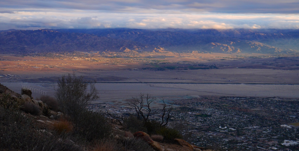


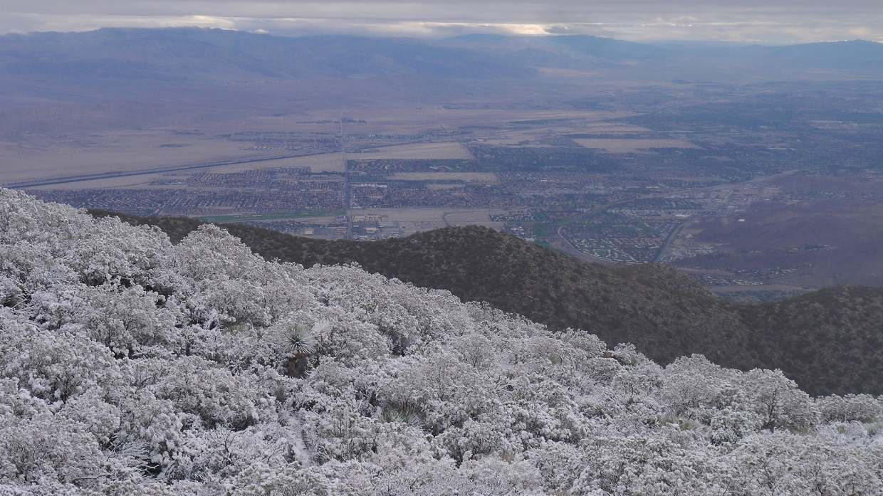
The snow level was at around 5,300 ft.


As we approached the snow line, we became engulfed in a thick layer of clouds and the temperature dropped immediately. The snow was wet and sticky, and was constantly raining down from the vegetation. Every 15 minutes or so, the clouds would part and reveal an incredibly scenic snowy landscape.


The first three of us reached Grubbs Notch at 10:50am under clear blue skies.


The other two decided to go rest up in the tram station, so I continued solo onto the San Jacinto Peak Trail, heading towards Wellman Divide. The remainder of the group was spread out along the trail about an hour back.
Yale Peak seen from the San Jacinto Peak Trail

From Wellman Divide, the trick is to get onto the broad ridge which stretches from San Jacinto Peak to Marion Mountain, intersecting the ridge at Jean Peak. The last time I had gone directly from Wellman to Jean was in 2012, and that had involved a ton on bushwhacking through manzanita. This time, I headed south on a trail which split of from Wellman for a quarter mile, then headed northwest, hoping to gain the saddle between Jean Peak and Shirley Peak (the next peak south of Jean). But after a few hundred feet, the manzanita came back thick as ever, and I headed north to join up with the 2012 route I had taken from Wellmans. I popped out somewhere on Jean's south ridge a few moments later, glad to have finished with the bushwhacking. The rockpile of Mt. St. Ellen's was visible to the southwest.
Mt. St. Ellen's seen from Jean's south ridge

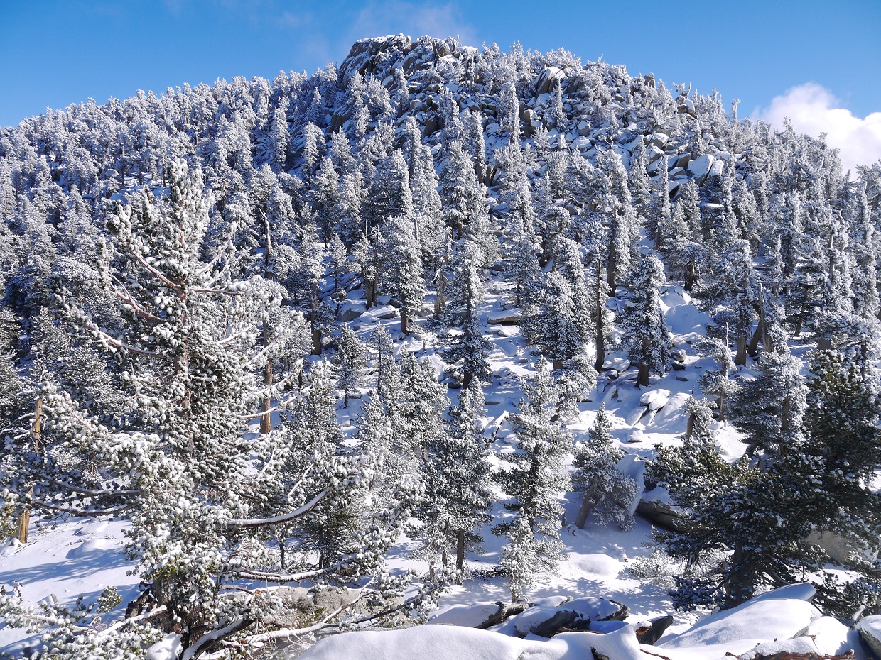
The class 1 walk over to Mt. St. Ellen's was nice and relaxing. The snowy trees shimmered in the afternoon sun as I plodded my way through about a foot of snow. 20 minutes later, I stood at the base of the rockpile. A small bit of class 2 boulder scrambling brought me to the summit. A sign and register had been placed on the summit block by a large group the previous September.
views from the summit


After some relaxing, taking in the view, and stuffing down an energy bar, I left the summit and headed north along the main ridge towards San Jacinto Peak on mostly class 1 terrain, passing over the summit of Jean Peak along the way.

monster cloud seen from Jean Peak

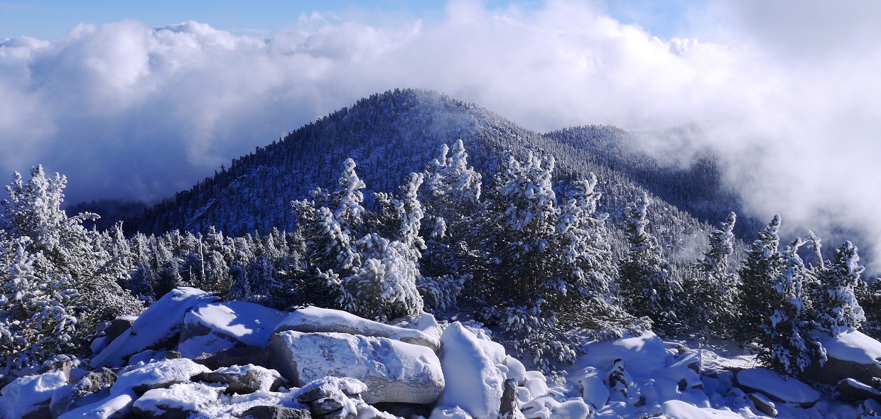
I reached the summit of San Jacinto Peak at 3:45pm just in time to see Sheh and someone else heading down. It was another one of those above-the-clouds-in-a-winter-wonderland days, which I never get tired of seeing. I enjoyed a few moments of solitude on the summit, then headed down to catch up with the others.
San Jacinto Peak views


Final Stats
21 miles
12,060/3,740 ft gain/loss

Weather Forecasts
Trailhead
1,500 ft along Skyline Trail (picnic tables)
4,900 ft along Skyline Trail
6,000 ft along Skyline Trail (Flat Rock)
7,800 ft along Skyline Trail (Coffman's Crag)
Long Valley to Round Valley
Mt. St. Ellen's, Jean Peak, San Jacinto Peak
Peakbagger Pages
Mt. St. Ellen's
Jean Peak
San Jacinto Peak
Summitpost Pages
Jean Peak
San Jacinto Peak
Other
Mt. San Jacinto message board
Live webcam from Long Valley Ranger Station
Palm Springs Aerial Tramway website
No comments:
Post a Comment