Note: For specific route information on the Cactus to Clouds (C2C) route, see this route description.
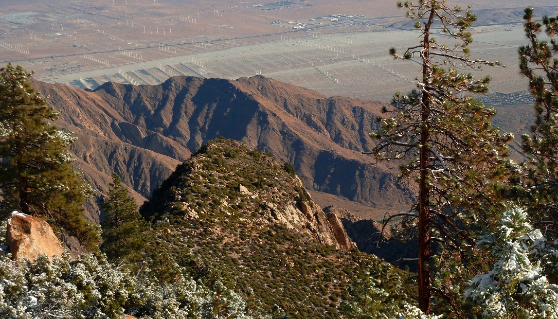
November 5, 2011On Saturday I left with a large group of people at 3:55 am to hike C2C after the big snowstorm the previous day. The temperature at the trailhead was somewhere in the mid 40s, making for pleasant hiking weather. The route was surprisingly busy. There was a small group ahead of us, a few solo climbers, and when I got to 3,000 ft it looked like there were lights from a big group of what looked like 15-20 people coming up from the trailhead. At 2,000 ft, five of us broke off from the mass of people and went ahead. As we reached 3,500 ft and got our first view of the upper mountain, all the oooohs and ahhhhhs sounded as it revealed nice snow-blanketed slopes.
sunrise from ~4,800 ft
San Gorgonio in the morning light, with Leatherneck Ridge in the foreground
Coffman's Crag looking very distinct
more views
break at Flat Rock
views from the switchbacks above Flat Rock
The snow level was around 6,000 ft.
starting The Traverse
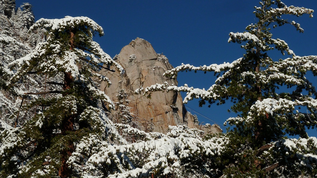
Coffman's Crag
We got to Long Valley at 10:15 am where there was about 5 inches of snow on the ground. I finally decided that I felt cold in my T shirt and decided to put on a jacket.
Grubb's Notch
We walked up into the tram station to get water and wait for the rest of our group, but after 45 minutes no one came and we decided to go. Jeff decided to stay back, so the remaining four of us went for the peak via Sid Davis.
Divide Peak seen from the tram station
heading up Sid Davis
heading up the giant switchback before the summit on the San Jacinto Peak Trail
We stopped at the shelter to put on extra layers before scrambling up to the summit. The summit was at a cool 20 degrees with 15-20 mph winds, complete with hoar-blasted trees like a winter wonderland above the clouds. The other three people descended after 15 minutes. I couldn't resist the view and decided to wait for the rest of the group to get here, snapping photos here and there.
With not much daylight left, we ended up taking the North Ridge shortcut back to the trail. We took it slow at the the last bit which was a little slippery scrambling without crampons over icy boulders. We reached the tram station 20 minutes after sunset. Up to this point, this had been my 5th and favorite C2C!
Final Stats
17 miles
11,150/3,100 ft gain/loss
Weather Forecasts
Trailhead
1,500 ft along Skyline Trail (picnic tables)
4,900 ft along Skyline Trail
6,000 ft along Skyline Trail (Flat Rock)
7,800 ft along Skyline Trail (Coffman's Crag)
Long Valley to Round Valley
San Jacinto Peak
Peakbagger Pages
San Jacinto Peak
Summitpost Pages
San Jacinto Peak
Other
Mt. San Jacinto message board
Live webcam from Long Valley Ranger Station
Palm Springs Aerial Tramway website


No comments:
Post a Comment