December 10, 2016
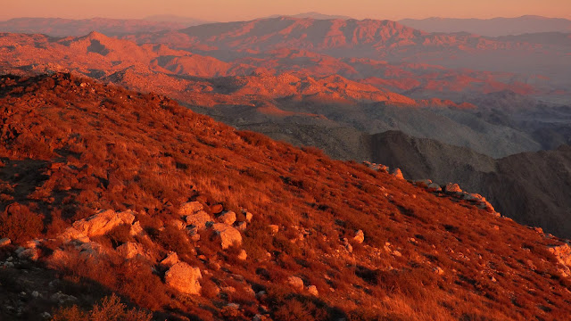
The In-Ko-Pah Mountains are a small desert range within the Peninsular Ranges in south San Diego County. Visited mainly by dirt bikers and occasional hikers, the range offers a few interesting peaks, the most popular of which are Mt. Tule and a few nondescript benchmarks on the east side of the range where it drops towards Carrizo Gorge. Everyone I knew who had previously visited this area had given it high reviews for peakbagging.
| Peak | Elevation | Topographic Prominence | Summit Coordinates (lat/lon) |
|---|---|---|---|
| Mt. Tule | 4,647 ft | 707 ft | 32.7015, -116.2273 |
| Rozzie Mountain | 3,679 ft | 299 ft | 32.7177, -116.2109 |
| Groan Benchmark | 2,732 ft | 80 ft | 32.7325, -116.2018 |
| Gasp Benchmark | 3,223 ft | 3 ft | 32.7387, -116.2248 |
| Grunt Benchmark | 2,144 ft | 40 ft | 32.7529, -116.2259 |
Trailhead coordinates (lat/lon): 32.7100, -116.2407
Keith and I started off from the trailhead (3,980 ft) near Sacotone Spring around 6am, taking a series of old dirt roads southeast towards Mt. Tule which was roughly 1.5 miles of hiking distance away. These roads eventually dead ended not too far from Tule's summit on its northwest slopes, and we easily followed these slopes to the summit. Our plan for the first half of the route (see map) was to catch the sunrise on Tule, then head northeast up and over Rozzie and follow Rozzie's northeast ridge down to Groan Benchmark.
ascending Tule
We enjoyed a relaxing breakfast on Tule while waiting for the sun to rise.
From Tule, Rozzie looked like nothing more than a small clump of dirt. To get to it, we first descended the prominent north ridge of Tule to spot elevation 4333, then dropped east into a large flat area between the two peaks. Dropping east involved typical desert sand and occasional cactus, and in no time we were crossing the easy scenic flats with Rozzie growing larger.
Rozzie contained an impressive view into Carrizo Gorge, being directly above it. Surprisingly, it was the only peak of the day which did not contain a register.
looking back towards Tule
We continued northeast towards Groan Benchmark, staying more or less along the main connecting ridge.
Groan's summit contained similar impressive views towards Carrizo Canyon that we had from Rozzie.
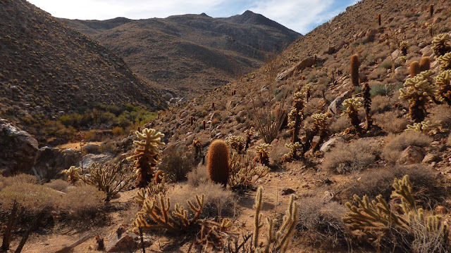
Our next objective was Gasp Benchmark to the northwest. We first descended roughly 1,000 ft of elevation down Groan's northwest ridge which consisted of large boulders which vanished after a few hundred feet of descent. Crossing the canyon (1,690 ft) between Groan and Gasp involved a tiny tidbit of light bushwhacking. Once on the east ridge of Gasp, we would ascend roughly 1,500 ft to the summit along the ridge, weaving between stands of "teddy bear" cholla cactus.
Gasp seen from Groan
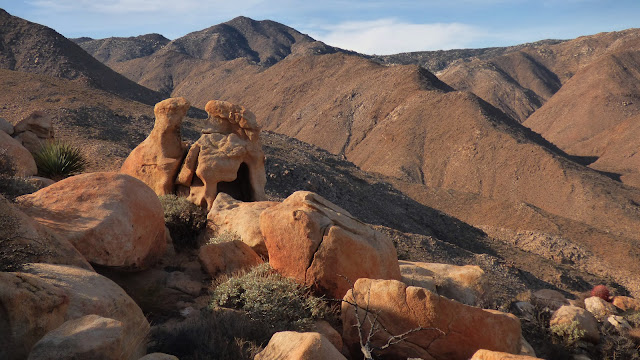
rocks on Groan's northwest ridge
ascending Gasp
We had initially considered adding Grunt Benchmark after Gasp, but halfway up to Gasp, Keith mentioned that he was not gonna make it there and that I should just run ahead and tag it. He would follow Gasp's west ridge and intersect a jeep trail which would take him south to the trailhead, and I would descend Gasp's north ridge towards Grunt.
views from Gasp
Gasp's north ridge contained easier terrain than what we had done so far in the day, and it took no time at all to descend the 1,500 ft of elevation to the base of Grunt. Grunt was perched on a small hill just north of Gasp's north ridge, looking insignificant among its surrounding ridges. I ascended the hill by taking a shallow gully to the southwest and eventually working my way east towards the highpoint. The south and southwest slopes of Grunt were covered with a wide array of cactus, which stabbed and poked me in several places the whole way up. I had to stop twice to pick off bits of cholla from my legs and shoes.
views from Grunt
From Grunt, I ascended the main ridge west for about 1,000 ft of elevation gain until I hit one of several motorcycle trails. This ascent was straightforward with easy terrain and surprisingly little cactus compared to the south side of Grunt.
looking west from Grunt
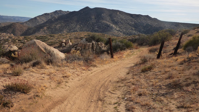
I followed the array of motorcycle trails south for 4.4 miles back towards the trailhead, passing by a few dirt bikers along the way. Without a map, these scatterings of trails would've been confusing to follow, but navigation was trivial with my map of all trail junctions.
Final Stats
12.9 miles
6,200 ft gain/loss
Weather Forecasts
west side of route (3,700 ft)
east side of route (2,400 ft)
Peakbagger Pages
Mt. Tule
Rozzie Mountain
Groan Benchmark
Gasp Benchmark
Grunt Benchmark


No comments:
Post a Comment