
home page
June 16, 2015
It was a typical warm morning as we began walking up the half mile dirt road to the trailhead from the overnight parking lot at North Lake. We had started somewhat late (around 10am), and the sun was already beginning to bake the valleys. As we hiked up the Lamarck Lakes Trail, the usual pleasant cooling trend began, and the temperature became comfortable as we passed by Lower Lamarck Lake.
From Lower Lamarck Lake, we could see the beginning of the traverse to the west. From here, the route appeared very technical.

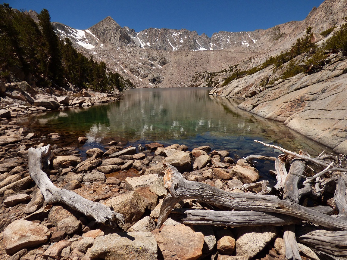
A few short moments later, we were at the outlet of Upper Lamarck Lake. We left the trail here and headed northwest on class 1-2 terrain towards the start of the traverse, aiming for a prominent class 3 chute which led up onto the ridge. There were numerous other ways to access the ridge, all of them class 3.
Upper Lamarck Lake
our route onto the ridge

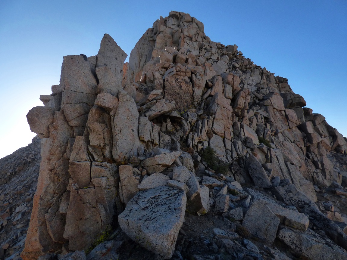
the class 3 chute

The top of the chute was blocked by a class 5 impasse, which we ended up bypassing by heading to the right just before the impasse. After that, we continued up to the crest of the ridge and began traversing west on fun and exposed class 3 terrain. The ridge was made up of several large blocks. Many times, the crest of the ridge would comprise of merely a single block.

Shortly before reaching Wonder Point, we climbed up and over a short 10 ft class 5.0-5.2 cracked face. The rock here was still solid and fun.


same view (as above) from our failed attempt in May

After the cracked face, Wonder Point was a short class 2 boulder hop away. I rummaged around at the summit and dug out the register which we had found on our last attempt. It consisted of a small business card and no writing utensil.

looking west from Wonder Point

From Wonder Point, everything to the west looked benign, but as we continued along the ridge, the familiar chasm appeared, and we stopped to set up a rappel. There were several large blocks which provided easy anchors. The drop to the notch was greater than 80 ft, and I couldn't tell if the ends of the 60m (197 ft) rope reached the bottom as I threw it down. I got on the rappel first, which turned out to be very fun sailing down large blocky clean granite. As I reached the bottom at the notch, I could see that the rope had just made it, leaving roughly 3 ft at each end to spare.
looking west across the chasm

looking down

Mason rappelling

Wishbone Lake seen from the notch

Continuing west along the ridge, we scrambled up a short section of class 3 before rock hopping the remaining distance to Wishbone Point.

For roughly 15 minutes after leaving Wishbone Point, we weaved between a few bumps on the ridge while rock hopping on more class 2 terrain. After that, the terrain flattened out and became sandy. We could now see the large slog up ahead which would enable us to access the Sierra Crest and geological Glacier Divide.
looking up at the slog

The slog was somewhat tedious, but actually didn't take too long. The first half of it was the expected sandy nastiness, followed by more class 2 rock hopping and easy scrambling. As we reached the large plateau above, we dropped our packs and headed a short distance north to summit Mt. Marshall.
Mt. Marshall seen from our entry point onto the plateau

Mt. Marshall contained an interesting little register with the earliest signatures dating back to 1938. We saw the familiar party with Chester Versteeg who had signed it in 1940.

view southwest from Marshall


Next up was Keyhole Plateau, which was visible as the long sandy class 1 ramp to the south.

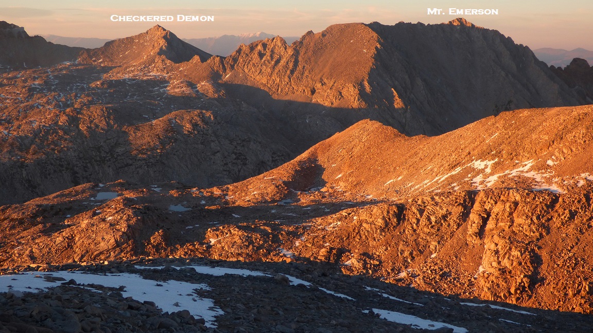
It took a surprisingly long time to get to Keyhole Plateau's summit due to snow coverage. Every time we would hit snow, we would posthole pretty bad. Right below the summit was a very nasty section where I ended up postholing to my waist. Great. It was still day 1 of the traverse and my socks were already sopping wet. I remembered the gaiters sitting in the car. Apart from that, the views from Keyhole Plateau were grand. We had a clear birds eye view of Mt. Darwin, Mendel, and Steven Jay Gould. In 2013 I had summited Keyhole Plateau with the Sierra Challenge. We had placed a register on the summit, but I could not locate it. It was probably buried under the snow.
views from Keyhole Plateau


Next up was Mt. Muriel. We descended to where we had left our packs, and proceeded northwest towards the connecting ridge. The ridge between Keyhole and Muriel was fun and solid class 2-3, with the class 3 sections appearing just below the summit plateaus of Keyhole and Muriel.
looking towards Muriel

just before Muriel's summit plateau
We decided to camp on Muriel for the night since it had a nice sandy summit plateau. With almost an hour of light remaining, we set up the tents and began boiling snow. As the sun began setting, we clambered up to the summit of Muriel to enjoy the display of orange light dancing along the ridges.
sunset from Mt. Muriel


Back at camp, we finished our dinners and turned in for the night, planning to wake up at around sunrise the next morning.
go to Day 2
No comments:
Post a Comment