
January 18, 2014
The Desert Divide is a long ridge which forms the southern end of the San Jacinto Mountains. Craig, Sung, and I headed over one Saturday morning to bag Butterfly Peak, Gold Hill, and Rock Point which were situated near the southern end of the divide. This would be a pretty short and relaxing hike with minimal elevation gain.
| Peak | Elevation | Topographic Prominence | Summit Coordinates (lat/lon) |
|---|---|---|---|
| Butterfly Peak | 6,240 ft | 280 ft | 33.621682, -116.580596 |
| Gold Hill | 5,164 ft | 144 ft | 33.61244, -116.592064 |
| Rock Point | 5,280 ft | 200 ft | 33.599037, -116.588019 |
| Little Cahuilla Mountain | 5,042 ft | 500 ft | 33.606938, -116.810297 |
Getting to the trailhead (Butterfly, Gold Hill, Rock Point): Follow the directions from Summitpost
Trailhead coordinates (lat/lon): 33.606092, -116.604181
The three of us began hiking from the trailhead (4,585 ft) at around 8:30 am, walking up a narrow paved road (Pathfinder Rd) which headed ESE for about a tenth of a mile, then turning left as it intersected an old dirt road.

The dirt road headed in a generally northeastern direction towards Butterfly Peak. On the southeast side of Gold Hill (1.1 miles after leaving the trailhead), a small trail branched off to the right. This was the turnoff for Rock Point which we would take after coming back from Butterfly Peak and Gold Hill.
"Theres gold in them thar hills!"

Butterfly Peak in view

more views from the dirt road


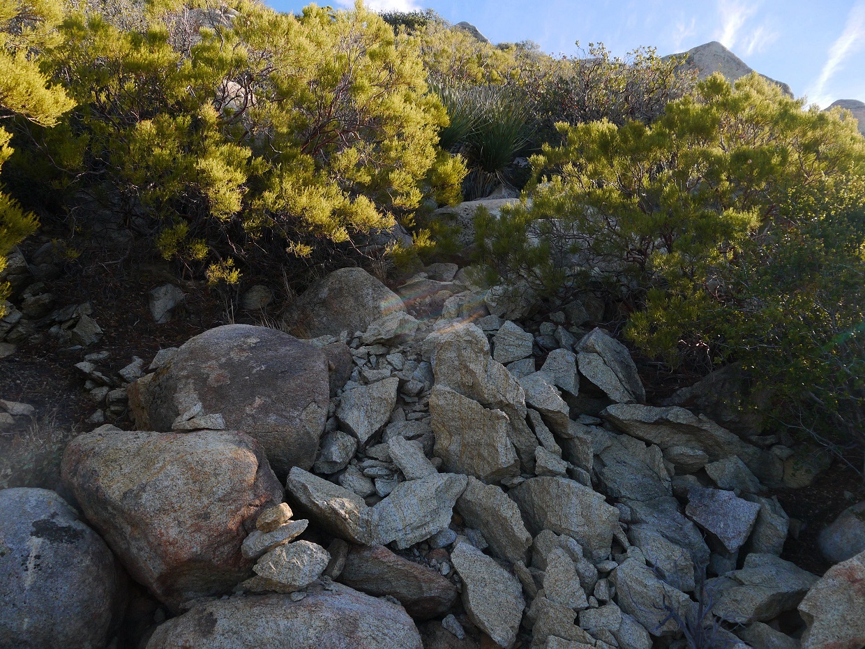
After passing Rock Point turnoff, we continued up the dirt road (passing the left-branching turnoff for Gold Hill shortly after) for another 1.1 miles until it ended at the remnants of an old mine (5,590 ft). From there, we headed northeast up the slope above the mine. This short section of cross country was marked by numerous cairns and contained moderate bushwhacking. A tenth of a mile later, we intersected a use-trail heading for Butterfly Peak.
start of the cross country
Craig battling brush

The use-trail was well defined for the initial quarter mile or so, but then became harder to locate once it had reached the base of Butterfly Peak's south ridge. From there, we paralleled the ridge northwards along its west side, picking up sections of trail here and there and passing by numerous cairns. Shortly before reaching the summit, the trail became much more discernible.
views from ascent


class 2 summit blocks

views from summit


register

On the way down Butterfly Peak, we decided to follow the use-trail further down than where we had intersected it just to see where it went. Not surprisingly, it intersected the dirt road at the last switchback before the road ended.
views while descending Butterfly Peak


some "class tree" scrambling

We headed back down the dirt road to the Gold Hill turnoff located on Gold Hill's northeast side. The turnoff was another old dirt road branching off to the right, marked by a sign.
Gold Hill turnoff

From the turnoff, we followed the dirt road for a tenth of a mile to a saddle (5,025 ft) north of Gold Hill. A trail branched south (left) from this saddle, ending a few hundred feet later at an old mine. From the mine, a short section of cross country southwards brought us to the summit of Gold Hill.
the mine

looking up Gold Hill's north slope

summit block

views from summit

Back at the Rock Point turnoff, we took the branching-off trail for 0.8 miles to the NNW side of Rock Point, where a very faint use-trail branched off to the left and headed towards the summit. This trail was marked by a small wooden sign with "Rock Point" written on it.
heading towards Rock Point

turnoff sign

The faint trail headed in a general SSE direction, turning and twisting through patches of chaparral. The true twist to this little peak came at the very end, where we found ourselves facing the 15 ft class 5.4 summit block. There were two 5.4 routes on this block, one on its south side and another on its east. Craig and I headed up the east side, which contained an enjoyable crack with plenty of arm and leg placements. Sung headed up the south side, which was somewhat reachy at the start due to an absence of holds, but improved with large holds starting halfway up.
south side

east side


register

views from summit


After getting back to the trailhead from Rock Point, we saw that it was only 2:45 pm, giving us enough time to bag another peak. We decided on Little Cahuilla Mountain and Cahuilla Mountain since they were close, with the plan to bag Little Cahuilla first.
Getting to the trailhead: Follow these directions. (note: We ended up parking and hiking from the Cahuilla Mountain trailhead (1.4 mi before Saddle 4,560 ft, the Little Cahuilla Mountain trailhead) because we were unsure if the road ahead was drivable in low clearance 2WD. We found out shortly after that it was drivable).
Trailhead coordinates for Cahuilla Mountain Trailhead (lat/lon): 33.596434, -116.780556
Trailhead coordinates for Saddle 4,560 ft (lat/lon): 33.608387, -116.795481
Cahuilla Mountain trailhead

heading towards Saddle 4,560 ft

From Saddle 4,560 ft, a small trail branched off to the northwest, heading up the east ridge of Little Cahuilla and generally staying on the crest of the ridge. Certain sections of trail were somewhat overgrown with chaparral, but it wasn't difficult to follow. After 1.2 mi on this trail, we found ourselves on the summit. The highlight of this peak was that it offered very expansive views of Mt. San Jacinto and the Desert Divide.
start of the trail

views from trail


looking northeast from the summit`

north

register

From the summit of Little Cahuilla, it was obvious that we would not be able to bag Cahuilla Mountain before dark, so we spent some time hanging out at the summit, then retraced our steps to the car.
last shot of the day

Stats for Butterfly Peak, Gold Hill, Rock Point
8.8 miles
2,990 ft gain/loss

Stats for Little Cahuilla Mountain (starting from Saddle 4,560 ft)
2.4 miles
1,000 ft gain/loss

Weather Forecasts
Peakbagger Pages
Summitpost Pages
No comments:
Post a Comment