
home page
April 5, 2015
All three of us woke up shortly before sunrise and began packing up. I stuck my head outside the tent to see that a dusting of snow had fallen overnight, something that I had not noticed during the night. Mason would later mention that he had woken up in the middle of the night from a dream where someone had told him something along the lines of "Im going to start the snow now." When he awoke, he could hear snow falling on his tent.
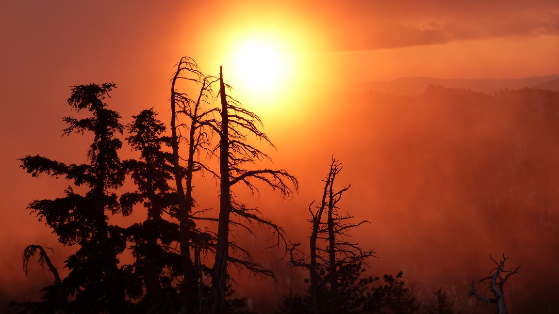
The temperature was hovering somewhere in the mid teens. The sky was half filled with fast moving low clouds. A steady 15-20mph wind was blowing in from the west. I finished packing up, and headed up towards the summit of Haakens Peak to watch the sunrise. It was a straightforward walk to the highpoint, all on steady class 1 slopes. Shortly after all three of us arrived at the summit, it began to snow. It would continue to snow for the remainder of the day.
views while walking up Haakens Peak


Chris & Mason approaching the summit

at the summit

Haakens Peak register

view southwest from Haakens Peak

north

Next up was Crag Peak, which was a short and straightforward walk north from Haakens. The only difficulty of Crag was its ambiguous highpoint, so we made sure to tag all the possibilities.
heading over to Crag


view south from Crag Peak

northwest


The snow began coming down harder as we descended Crag's northwest ridge, which consisted mostly of 20 degree snow slopes. Halfway down, Mason mentioned that he wasnt feeling well, and we stopped for a snack break. Roughly 20 minutes later, he felt better and we began making our way up Meeks Peak's southeast ridge. The first half of this ridge was class 1 with a jumble of brush and fallen trees strewn all over the ground. The second half became covered with class 2 granite boulders. There were a few false summits, but the true summit was obvious once we had reached it.
heading up Meeks Peak's southeast ridge

views from Meeks Peak


The wind came once again, and we did not remain on the summit for more than a few minutes. We now had only one peak left on the traverse: Lost Duck Peak. Its faint outline was visible to the north. Getting to it would involve descending the northwest ridge of Meeks Peak and making a wide ark on the broad ridge in order to gain Lost Duck Peak's southwest ridge.
The first bit of descent on Meeks Peak's northwest ridge was rocky with a few sections of bushwhacking through manzanita. As the ridge broadened, the brush disappeared and the terrain was mostly flat and slabby with easy walking. Eventually the ridge became so broad and forested that it no longer resembled a ridge.


As we continued northward, we eventually came across the unmistakable rise in terrain to the east. This was the start of Lost Duck Peak's southwest ridge. Eventually the unmistakable form of Lost Duck Peak came into view, and we scrambled up to it on class 2 slightly brushy terrain.
Lost Duck Peak seen from the west

The summit itself was bathed in clouds and we were not able to get any views. Despite that, there was still some form of excitement to be got from standing on that windy summit with snow pounding onto our bodies.

With the last peak on the Meeks Traverse summited, it was time to exit the ridge. We had chosen to descend Lost Duck Peak via its broad southeast ridge. This ridge dropped steeply into the Meeks Creek Drainage. A well maintained trail which would take us back to Meeks Trailhead ran past the toe of this ridge. We made quick work of the ridge, descending it in what seemed like around 30 minutes. Parts of the ridge were covered with manzanita and buckthorn, but there was usually some way to avoid them.
descending Lost Duck's southeast ridge


After intersecting the trail at the toe of the ridge, we turned left and followed it in a northeastern direction for 2 miles to were it intersected a dirt road near a shallow lake. Once at the road, we turned left again and walked 1.3 miles back to Meeks Trailhead, arriving at the car at around 1:20pm.
shallow lake at the trail/road intersection

back at Meeks Trailhead

back to Meeks Traverse
No comments:
Post a Comment